
Azores hiking: what to know first
Hiking in the Azores means marked trails over crater rims, along green coasts and, on Pico, up a registered mountain. Trilhos dos Açores, the regional trail register, publishes maps and descriptions and keeps a separate list of closed trails. A trail in the register is not necessarily open on your day, so look at the closure list before you set out.
Weather changes fast. Pack a rain layer even in summer, and start early so you finish in daylight. If you prefer a guide and a transfer, compare Azores tours that include a walk.
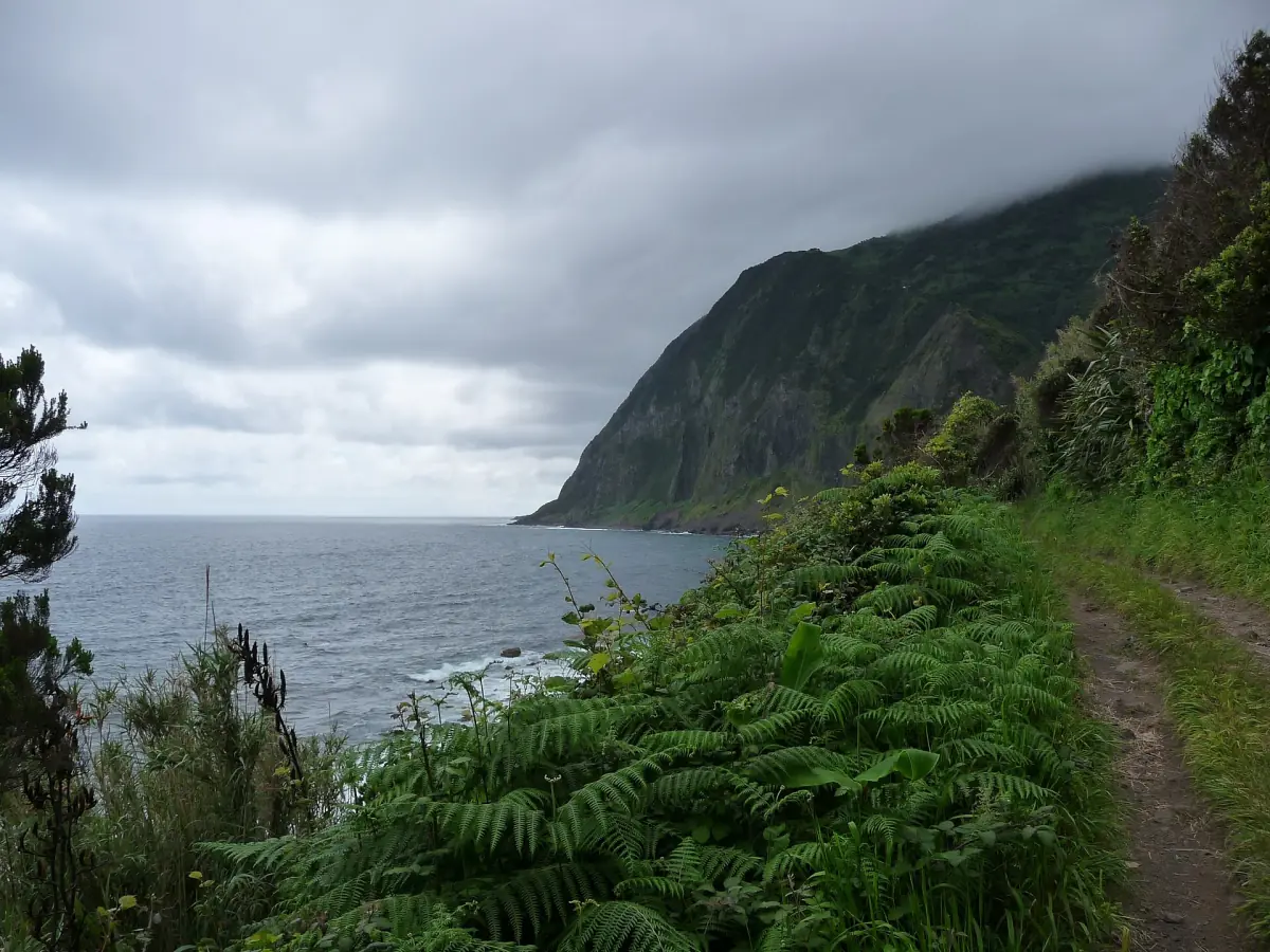
Our picks: guided hikes and crater visits
The Pico climb is the demanding option, the Sete Cidades sunset hike a gentle evening walk, and the crater visit is a drive with short stops rather than a hike.
Hand-picked tours, booked through GetYourGuide and Viator. Prices are indicative starting prices in euros (as of October 2026). Tap a tour for live availability and the current price in your currency.
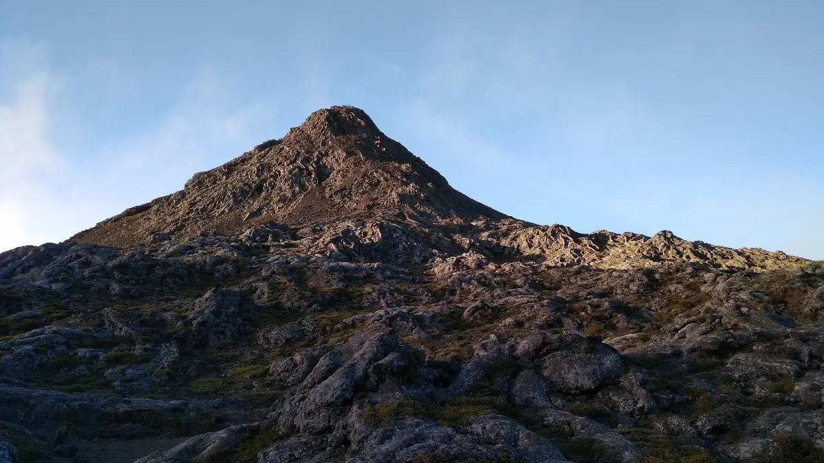
Pico mountain climb to 2,351 m
- Guide and walking poles
- GPS tracker
- Summit certificate
The climb to Portugal's highest point is a long, demanding day, so it is not a casual walk. Fees and taxes are covered.
Check availability →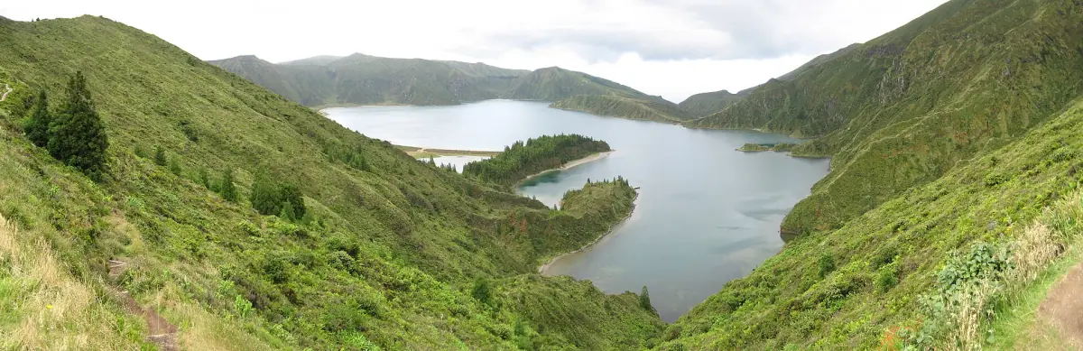
Guided visit to the Sete Cidades crater
- Guide and private transport
- Pineapple greenhouse visit
- Pickup and bottled water
A four-hour guided visit by private transport with a stop at the pineapple greenhouses. It is a drive with short stops, not a long hike.
Check availability →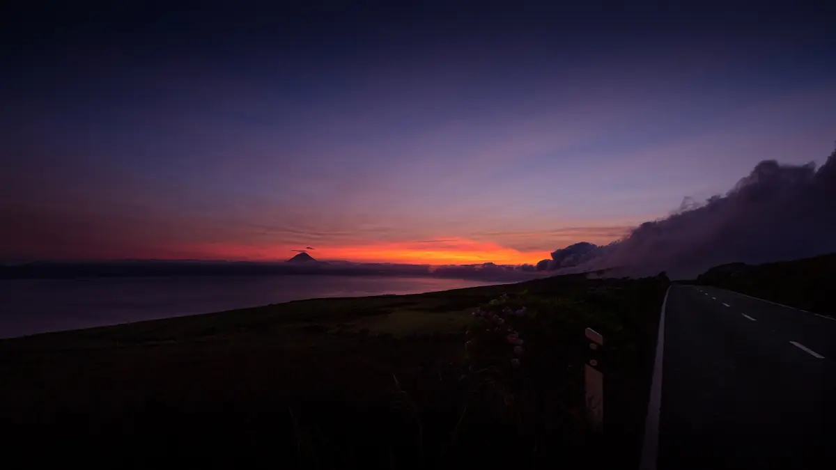
Sete Cidades sunset hike with wine and cheese
- Local wine and cheese
- Certified hiking guide
- Pickup and drop-off
A four-hour guided walk around the crater that ends with local wine and cheese. Walking poles are available on request.
Check availability →Hiking tours and day trips in the Azores
Guided walks and island tours with a transfer, with live prices and availability.
São Miguel trails
Crater rims near Ponta Delgada.
PR03SMI Vista do Rei to Sete Cidades
A linear trail along the crater rim, graded easy, about 7.5 km and an average of 2 hours. It ends in the village near the church of São Nicolau. Plan the return, because it is not a loop. See Sete Cidades for the viewpoints.
PR04SMI Mata do Canário to Sete Cidades
This trail runs along Lagoa Azul and links to the PR03SMI. The descent at the Arrebentões road is steep and can be slippery. It does not make a full walk around both lakes.
Boca do Inferno viewpoint
The walk to the Boca do Inferno viewpoint starts at the Lagoa do Canário car park and is about 1.3 km each way. Access can be restricted, so check the situation before you go and do not build a day around it.
Pico da Vara
Pico da Vara, 1,103 m, is on São Miguel and has nothing to do with Pico island. The climb needs a permit, applied for with the regional form.
Mount Pico: registration and fees
A mountain you register for.
Mount Pico reaches 2,350 m and has the Piquinho cone with fumaroles in the summit crater. Hikers register at the Casa da Montanha and carry a GPS device, and the climb can be reserved in advance through the regional mountain portal. Fees for 2026 for climbing on your own are €5 for Furna Abrigo, €15 for the crater and €25 for the Piquinho, plus €10 for a night in the crater. Residents are free. Check the current fees before you go.
Guided climbs need at least one recognised guide per 12 guests. Visitors who are not residents need an authorised provider outside the opening hours of the house. Weather can close the summit, so keep a spare day. The island itself is on the Pico island page.
Flores and São Jorge
Two islands for more remote walks.
Flores has a crater highland with lakes, waterfalls and stream canyons. Check the register before you plan a long trail, because sections can be closed. São Jorge has steep coasts and fajãs, the flat coastal strips below the cliffs. Fajã dos Cubres has a lagoon. Ask locally which descents are open. More about the islands is on the nine Azores islands.
Trail closures
Check the register before you set out.
Trails on several islands, among them São Miguel, Santa Maria, Terceira, São Jorge and Flores, are closed from time to time, and the closure list gives no reopening dates. A trail missing from the list is not a promise that it is safe, so the final check is the register and the trailhead.
Stay on marked routes and keep to closures.
When to hike
Season and conditions.
July is the driest month on the São Miguel coast and August the warmest, with a mean daily high of 26.0 °C. That makes June to September the easiest season, although cloud and showers can come at any time. Autumn is wetter, see Azores weather and the best time to visit. Mountain temperatures are cooler than the coastal values.
Azores hiking: frequently asked questions
Do I need a permit to hike in the Azores?
For Mount Pico you register at the Casa da Montanha and pay the climb fee. Pico da Vara on São Miguel needs an ascent permit. For other trails, check the register entry before you go.
How long is the Vista do Rei trail?
PR03SMI to Sete Cidades is about 7.5 km, graded easy, with an average of 2 hours one way. It is not a loop.
How do I know if a trail is closed?
The Trilhos dos Açores register keeps a closure list. Look at it before you go, and treat a trail that is not on it as unconfirmed rather than safe.
Can I climb Mount Pico without a guide?
Registration, a GPS device and the fee are required. Guided climbs need a recognised guide for every 12 guests. Do not rely on a night climb without checking the rules.
What should I carry?
Rain layer, warm layer, water, a charged phone and a GPS device if you climb Pico. Start early and keep a spare hour.